
If you find errors OR have additional information about this site, please send a message to contact@waynehistorians.org.
Clyde River Interpretive Sign
| Historic Site #: | 03-085 (Exists) Type: B4,I1,I0 | Town: | Galen | ||
| Site Name: | Clyde River Interpretive Sign | GPS Coordinates: | 43.079807, -76.868274 | ||
| Address: | 24 Water Street Clyde NY | ||||
| Description: | |||||
This is located at the east end of the Lauraville Landing park along the Canalway Trail. | |||||
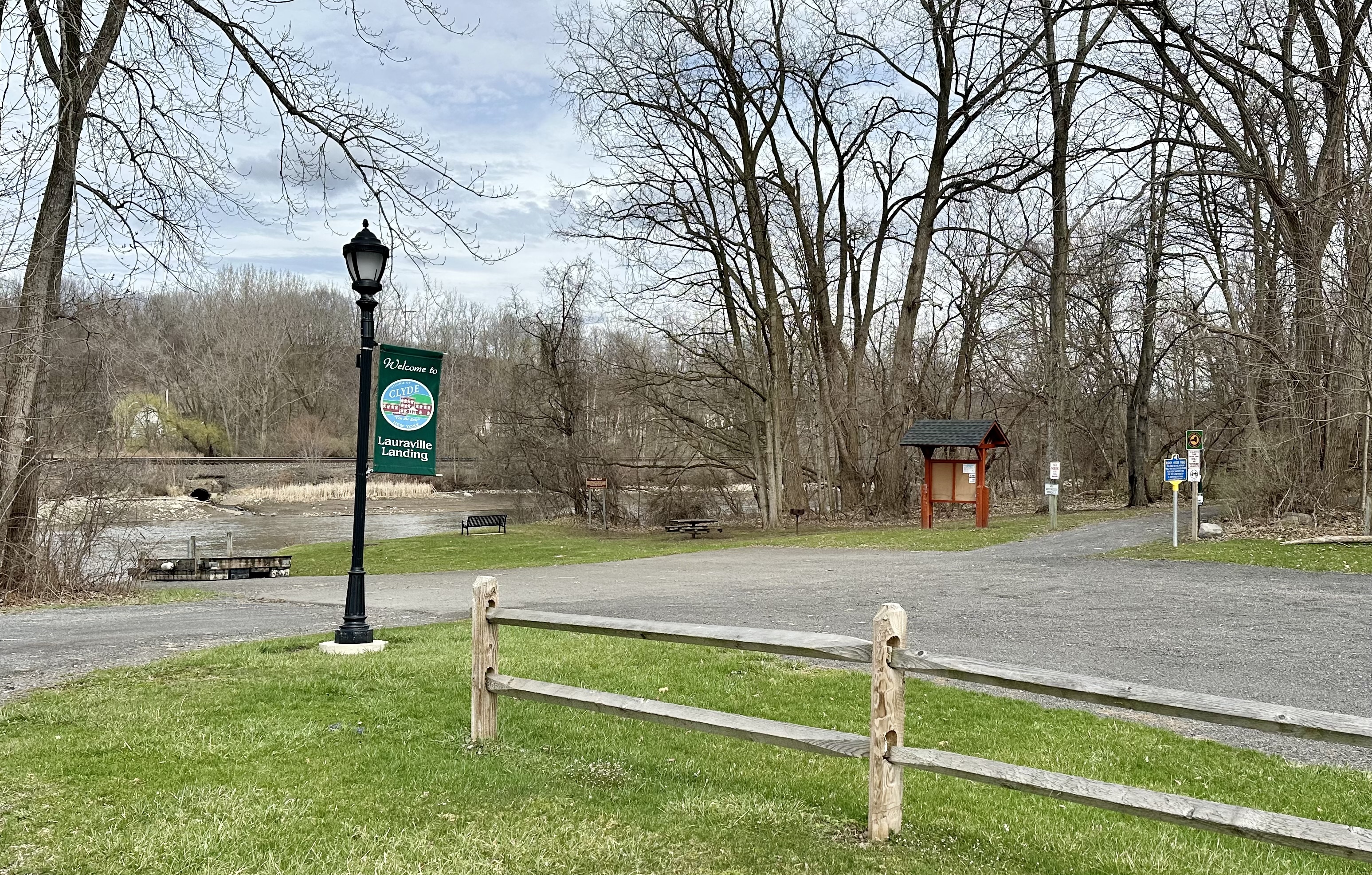 |
| Photo by Bavis 4-6-25 |
| Historic narrative: | |||||
| The interpretive marker states: Clyde River Named about 1818 by William Mcnab, a Scottish surveyor. The Clyde was a principal waterway for early settlers until completion of the Erie Canal. Later used as part of the NYS Barge canal, circa 1917 | |||||